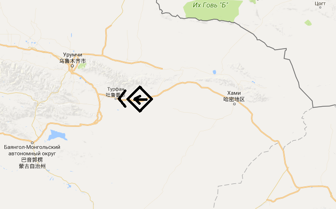
Вот тебе и современные студенты, в век гугла не найти на этом самом гугле. Я боюсь представить, что будешь делать с карточками в библиотеке.
А всего-то надо открыть раздел Маркеры и увидеть такой код, там даже расписано, что да как.
function setMarkers(map) {
  // Adds markers to the map.

  // Marker sizes are expressed as a Size of X,Y where the origin of the image
  // (0,0) is located in the top left of the image.

  // Origins, anchor positions and coordinates of the marker increase in the X
  // direction to the right and in the Y direction down.
  var image = {
    url: 'https://developers.google.com/maps/documentation/javascript/examples/full/images/beachflag.png',
    // This marker is 20 pixels wide by 32 pixels high.
    size: new google.maps.Size(20, 32),
    // The origin for this image is (0, 0).
    origin: new google.maps.Point(0, 0),
    // The anchor for this image is the base of the flagpole at (0, 32).
    anchor: new google.maps.Point(0, 32)
  };
  // Shapes define the clickable region of the icon. The type defines an HTML
  // <area> element 'poly' which traces out a polygon as a series of X,Y points.
  // The final coordinate closes the poly by connecting to the first coordinate.
  var shape = {
    coords: [1, 1, 1, 20, 18, 20, 18, 1],
    type: 'poly'
  };
  for (var i = 0; i < beaches.length; i++) {
    var beach = beaches[i];
    var marker = new google.maps.Marker({
      position: {lat: beach[1], lng: beach[2]},
      map: map,
      icon: image,
      shape: shape,
      title: beach[0],
      zIndex: beach[3]
    });
  }
}
